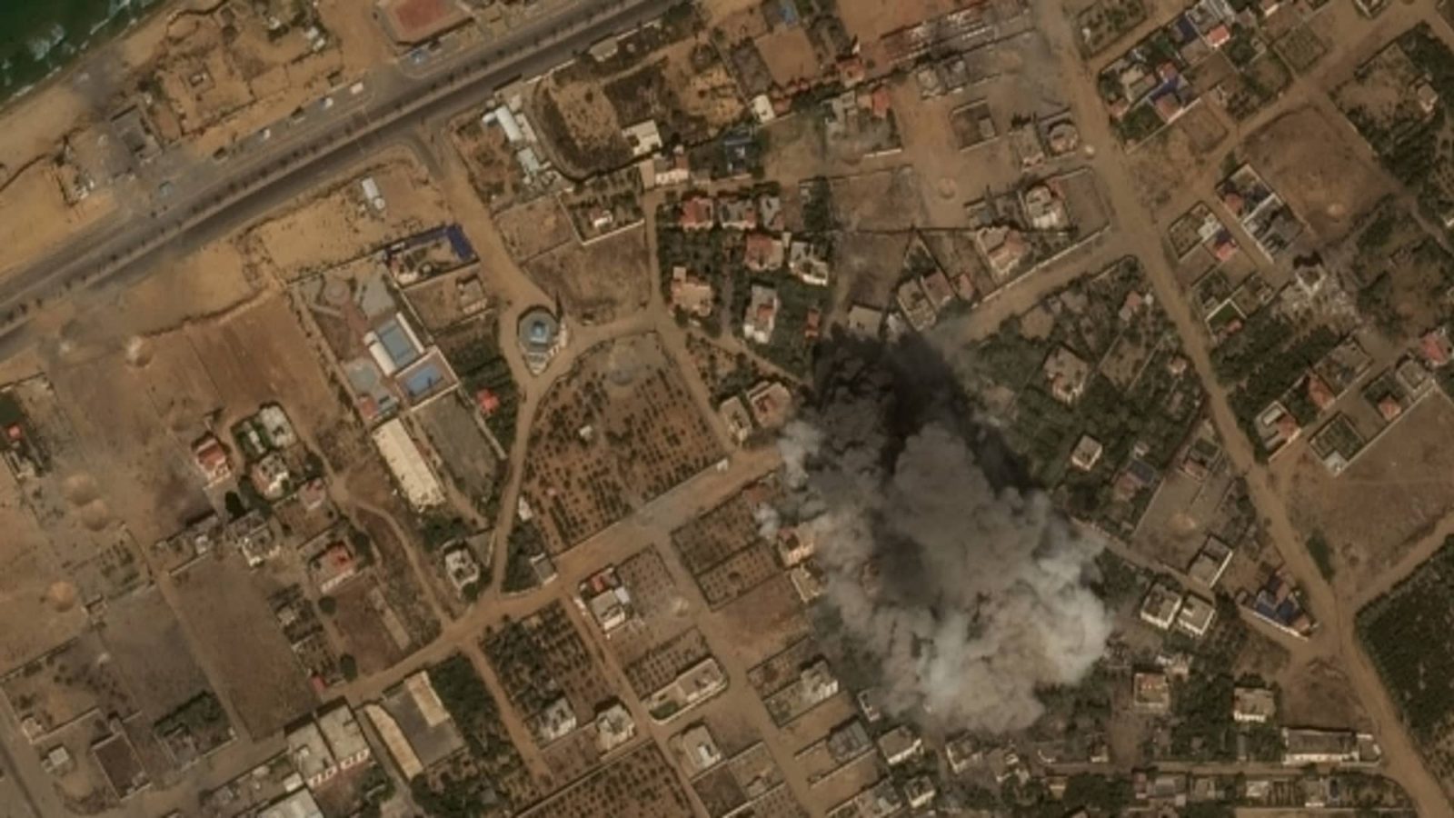
Satellite images depict the scale of the devastation in Gaza following a barrage of Israeli airstrikes in response to Hamas’ unprecedented assault.
U.S. space technology firm Maxar Technologies on Tuesday published a fresh batch of satellite images that show the aftermath of recent airstrikes in and around the enclosed territory of Gaza.
The update comes as Israel’s military says it is amassing hundreds of thousands of troops near the Gaza border “to execute the mission we have been given” from Prime Minister Benjamin Netanyahu’s government. Israel is expected to launch a ground offensive on the Gaza Strip in an attempt “to make sure Hamas won’t have any military capabilities.”
Israel, which has hammered Gaza with airstrikes in recent days, has ordered the “complete siege” of the Gaza Strip, seeking to stop the supply of electricity, food, water and fuel to the already blockaded population of roughly 2.3 million people.
The counteroffensive against the Palestinian militant group Hamas follows a brutal and coordinated assault on southern Israel over the weekend.
As a result of the ongoing Israeli-Hamas war, at least 1,200 Israelis have been killed, with more than 2,700 injured, while roughly 950 people in Gaza have been killed, with 5,000 injured.
Read the full article here


Leave a Reply